Basic Information
- Total Area: 8,514,877 square km
- Land Area: 8,459,417 square km
- Water Area: 55,460 square km
- Total Distance of all Land Boundaries: 16,885 km
- Total Distance of Coastline: 7,491 km
- Climate: Mostly tropical, temperate in the South
- Terrain: Mostly flat with some rolling lowlands in north. There are some plains, hills, mountains, and there is a narrow coastal belt
- Point of Lowest Elevation: Atlantic Ocean; 0 km
- Point of Highest Elevation: Pico da Neblina; 2,994 km
- Countries that Share a Border: Argentina, Bolivia, Colombia, French Guiana, Guyana, Paraguay, Peru, Suriname, Uruguay, & Venezuela
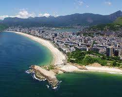
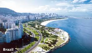
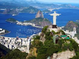
Photos of Brazil's Physical Geography

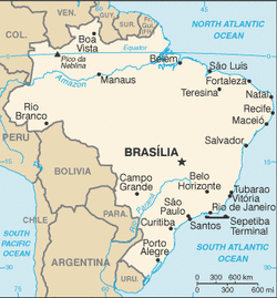
Regional map of Brazil
Country specific map of Brazil
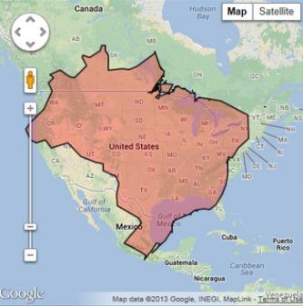
Brazil in comparison to the United States
Map of Brasilia, the capital of Brazil
